Canada Map

Request Free Visitor Guides

1

Select a Free Visitor Guide below

2

Complete the form to receive your guides by mail

Below are the Free Visitor Guides for Canada Area.
Click here to view all the guides avialable for Canada.

General Interest Guides

Bellingham Whatcom County Bellingham Whatcom County Bellingham Whatcom County
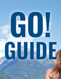
Canadian BorderWe offer a break from the ordinary. With magnificent natural scenery, skiing and snowboarding at Mt. Baker, hiking, arts and theatre, charming villages and water adventures like whale watching – Bellingham Whatcom County is a unique area of Washington state. Visit our website to plan your trip.
Request this Free Visitor GuideRequested! You're all set! Complete the form below to receive your guides by mail.

City and State Information for Canada

Canada Facts, Statistics, and State Symbols

State Flag

Alabama

"Yellowhammer State"

Motto
Audemus jura nostra defendere (We dare defend our rights)
Capitol
Montgomery
Name Origin
May come from Choctaw meaning “thicket-clearers” or “vegetation-gatherers”
Statehood Date
Dec. 14, 1819 (22nd)
Cities in Alabama
 

NOTE: Not all cities are displayed. Please narrow your selection by using the search above.

Official Symbols

A state's official symbols represent the composition and culture of the land and people who live and have lived here. Below are the symbols of Alabama along with the year they became official.

Flower Camellia (1959)
Bird Yellowhammer (1927)
Song “Alabama” (1931)
Tree Southern Longleaf Pine (1949, 1997)
Salt Water Fish Fighting Tarpon (1955)
Fresh Water Fish Largemouth Bass (1975)
Horse Racking Horse (1975)
Mineral Hematite (1967)
Rock Marble (1969)
Game Bird Wild Turkey (1980)
Dance Square Dance (1981)
Nut Pecan (1982)
Fossil Species Basilosaurus Cetoides (1984)
Official Mascot And Butterfly Eastern Tiger Swallowtail (1989)
Insect Monarch Butterfly (1989)
Reptile Alabama Red-Bellied Turtle (1990)
Gemstone Star Blue Quartz (1990)
Shell Scaphella Junonia Johnstoneae (1990)
Demographics
Population Density
87.6 people per square mile
Geography and Weather
Land Area
50,744 sq mi. (131,427 sq km)
Lowest Elevation
0 ft (0 m)
Average Elevation
500 ft (152.4 m)
Highest Temperature Recorded
112°F (44°C) on September 5, 1925
Lowest Temperature Recorded
–27°F (–33°C) on January 30, 1966

Copyright © 1997 - 2024 The Go Travel Sites. All Rights Reserved and.

Email Page Link

Complete the form below to email this page to a friend or family member's email. You can send yourself an email as well. Your email and your recipient's email will NOT be shared with anyone. See our full Privacy Policy for details.
:
:
:


:
Copy Yourself on the Email Yes No
:
:

1

Select a Free Visitor Guide below

2

Complete the form to receive your guides by mail
Bellingham Whatcom County Bellingham Whatcom County Bellingham Whatcom County
Canadian BorderWe offer a break from the ordinary. With magnificent natural scenery, skiing and snowboarding at Mt. Baker, hiking, arts and theatre, charming villages and water adventures like whale watching – Bellingham Whatcom County is a unique area of Washington state. Visit our website to plan your trip.
Request this Free Visitor GuideRequested! You're all set! Complete the form below to receive your guides by mail.